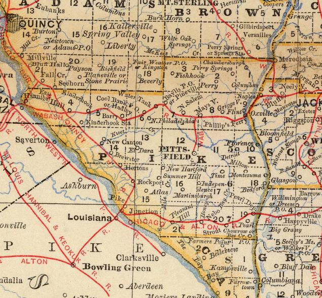
| This image shows an excerpt from "Rand, McNally & Co.'s Business Atlas Containing Large Scale Maps of Each State and Territory of the United States," entered in 1878 and published in 1879 by Rand, McNally & Co., Washington, D.C. |
Sources: Digital reproduction available in David Rumsey Cartographic Collections.Maintained by |