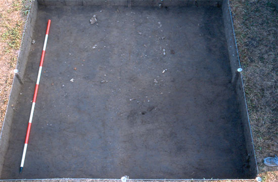
| Feature 7, above, was located within Excavation Units 1, 4, 5, and 7 near anomalies A29 and A30 in the southeastern corner of Block 4, Lot 1, in the data map shown in Figure 22. Feature 7 contains a large quantity of brick and stone and is rectangular in shape and measures about 6.0 feet east-west and by 3.5 feet north-south. Excavators did not have a chance to bisect this feature before the end of the 2005 field season, and at this point we can not clearly define this feature. Several ceramic shards dating to the 1830s/1840s are on the top of the feature and it provides some evidence that the associated context may date to the early settlement of the town. There is a good chance that the feature was created before 1867 since the deed records do not show any improvements on the southern part of the lot. Further excavation of the feature and surrounding area will occur next field season. |
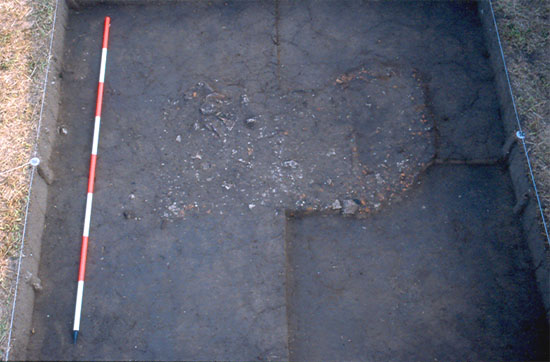
| Feature 13, above, was located within Excavation Units 2, 3, 6, and 8 near anomalies A29 and A30 in the southeastern corner of Block 4, Lot 1, in the data map shown in Figure 22. This feature is defined by a scatter of mortar, brick, stone, cinder, and ceramics starting just below the plow zone. It measures about 4.5 feet north–south and 6.0 feet east–west. Excavators uncovered this feature at the end of the 2005 field season and further investigation will continue during the next field season. |
| << Previous Figure | || | Next Figure >> |