Maps and Images
of New Philadelphia, Illinois
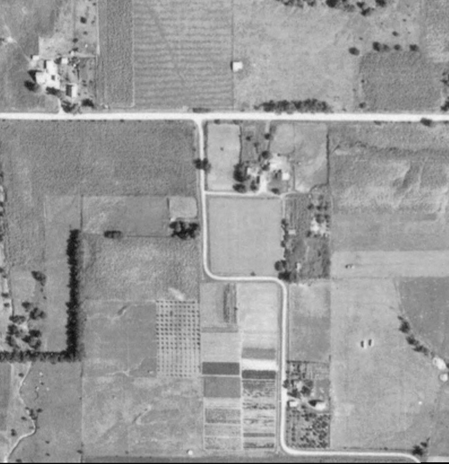
1939 Aerial Photograph
This excerpt of a 1939 aerial photograph from the U.S.D.A., shows the landscape on which New Philadelphia was located.
Source: U.S.D.A. Aerial Photographs Collection.
Compare this 1939 photo with later aerial photographs:
1939 aerial photo without crop notations (above)
1939 aerial photo with crop notations
1939 aerial photo with town lot overlay
1998 aerial photo
1998 aerial photo with town lot overlay
2005 aerial photo
Compare these aerial photos with 1990 topographic maps:
Larger scale map
Medium scale map
Closer scale map
Return to New Philadelphia page
Map and Survey Index
Maintained by
Christopher Fennell