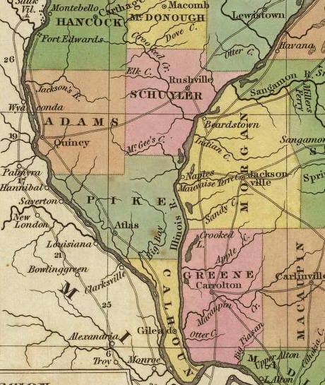
| This image shows an excerpt from a "A New Map of Illinois with its Proposed Canals, Roads and Distances from Place to Place, along the Stage & Steam Routes. by H. S. Tanner. (with) Lead Region. Engraved by J. & W. W. Warr. Entered 1833 by H. S. Tanner. Philadelphia, Pennsylvania" and published in 1836 in "Tanner's Universal Atlas." Note the sparse development depicted here for the Pike County region at this time. |
Sources: Digital reproduction available in David Rumsey Cartographic Collections.Maintained by |