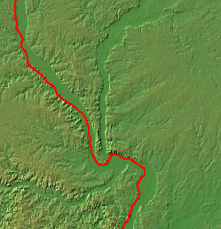
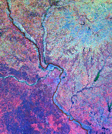
| The first image below shows a larger view of the topographic relief of the area around Pike County, in which New Philadelphia was located. The red line marks the border between Illinois and Missouri, following the path of the Mississippi River. The second is a satellite image of the area around Pike County and the valleys of the Mississippi and Illinois Rivers. Larger scale relief maps and related satellite images are available from the Color Landform Atlas of the United States. |
Maintained by |