|
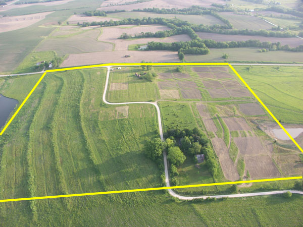
The photograph below was taken by Dr. Tommy Hailey of Northwestern State University, who conducted a low-altitude aerial survey of New Philadelphia in May, 2005. The image below shows an overlay of the town's outer boundaries; you can also view this image without this overlay. A number of the blocks and lots of the town area had been defined by survey markers and surface discing at the time this photo was taken. The farm and home site of Free Frank McWorter were located to the north of the town site, across a dirt road now covered by the blacktop road you see running from left to right in the upper half of this photo. |