|
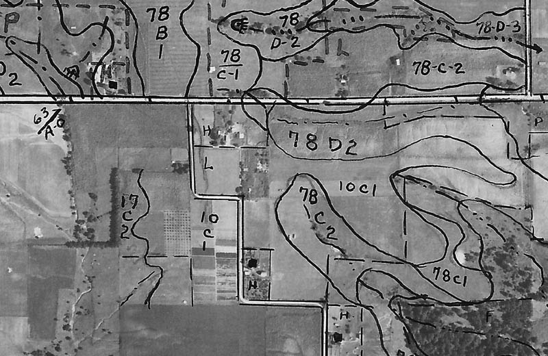
This excerpt of a 1939 aerial photograph from the U.S.D.A., shows the landscape on which New Philadelphia was located (the hand-written markings on this image represent a U.S.D.A. employee's notes about crop types). Approximate graphic depictions of the town lots and streets, as platted by Free Frank McWorter in 1836, can be overlain onto this aerial photo. The Center for Heritage Resource Studies presents preliminary findings of historic-period artifacts collected from parts of the surface of agricultural fields that now cover the terrain on which New Philadelphia was once located. Use the links below to compare this photo with other aerial images and recent topographic maps. |